11 September 2018
Climate Change
In another manifestation of extreme weather conditions, hurricanes as strong as the Category 4 storm Florence - barreling towards the coast of the Carolinas in the United States - are rarely seen so far north, the United Nation’s weather agency (WMO) confirmed on Tuesday.
Hurricane Florence is ranked as a category 4 hurricane on the Saffir-Simpson Hurricane Wind Scale. According to the US National Hurricane Center, category 4 hurricanes are ranked as major hurricanes, with winds at 130-156 mph (209-251 km/h), and a likelihood of catastrophic damage.
Hurricane Florence, currently moving West over the northern Atlantic, is currently moving West over the Atlantic Ocean between Bermuda and the Bahamas and is forecast to approach the coast of North Carolina or South Carolina on Thursday.
A spokesperson for the WMO described Hurricane Florence as “very large, very strong and very dangerous. Florence is expected to be an extremely dangerous major hurricane through Thursday. It’s a very big hurricane which can be seen from space”.
One of the main dangers from hurricane Florence is the rainfall, added the spokesperson. There is currently a 1-7 day rainfall forecast of more than 10-15 inches (254 to 381 mm).
WMO Secretary-General Petteri Taalas spoke to UN News on Monday at UN Headquarters in New York where, on the same day, UN chief António Guterres delivered a speech describing climate change as “the defining issue of our time”, and calling for more leadership and greater ambition for climate action.
Mr. Taalas confirmed that we are seeing the highest worldwide temperatures since records began. “We have been breaking records in some parts of the world. We have seen heatwaves hitting Japan, Europe – especially the northern part of Europe – where a large part of the harvest has been lost, and we have seen quite devastating fires hitting Canada and western parts of the USA,” he told us.
“We just saw a record-breaking typhoon hitting Japan a couple of days ago, the most intense typhoon in Japan for the past 25 years. Japan was also exposed to very intense rainfall, leading to flooding and landslides, with casualties.”
Although the early part of the Atlantic hurricane season was quiet, there are now three active hurricanes moving across the ocean (Florence, Isaac and Helene).
There have been 10 other years on record where we have had at least 3 hurricanes simultaneously, most recently last year (Irma, Jose and Katia)
In the Pacific Ocean, Typhoon Manghut, a very strong tropical cyclone and the largest currently active, is expected to impact the northern part of the Philippines later in the week.
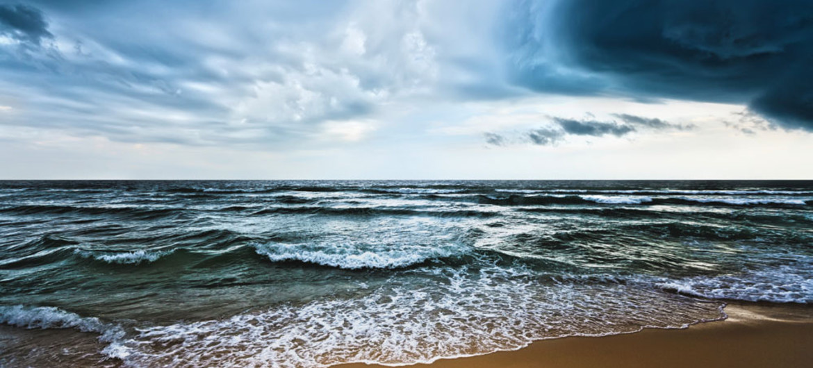
Photo:By absorbing much of the added heat trapped by atmospheric greenhouse gases, the oceans are delaying some of the impacts of climate change. Photo: WMO/Olga Khoroshunova.
