20 May 2019
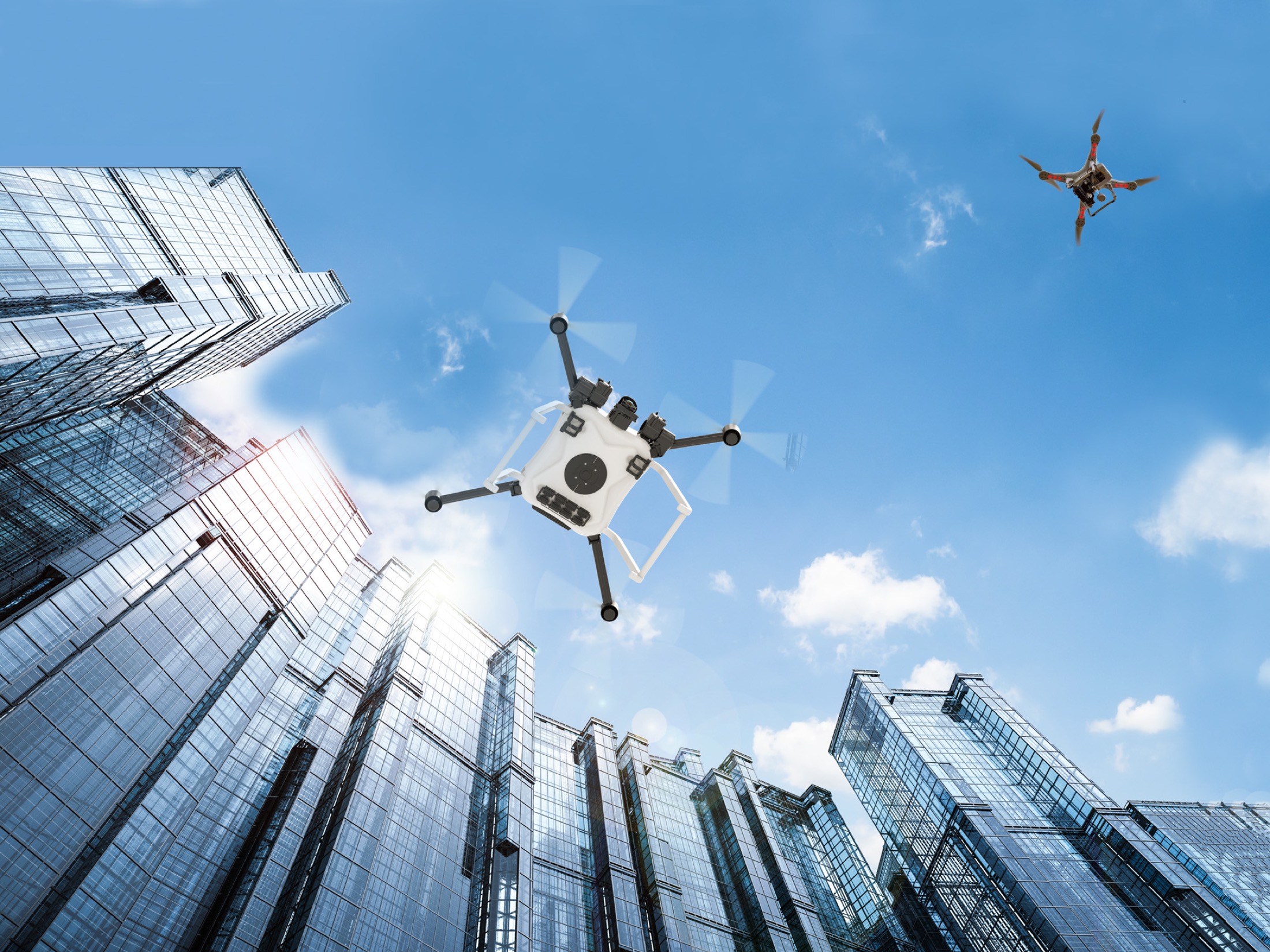
City life has its challenges. The crowds, the traffic, pedestrians at the mercy of the weather or tripping on the curb, their eyes glued to the maps on their phones… The struggle is real, and drones – also known as unmanned aircraft systems, or UAS – will face some of the same challenges in our cities in the near future. By 2020, there could be as many as 400,000 commercial small UAS registered in the United States, along with some two million for recreational use. Many jobs – those too dirty, dangerous, or dull for people – are already emerging for drones, everywhere from farms in the heartland to the urban jungle. Especially in that urban environment, we’ll need a way to keep all that activity in the air running safely and smoothly.
Since 2015, NASA has researched the ins and outs of building a system to do just that, with its Unmanned Aircraft Systems Traffic Management project, or UTM. The team works with the Federal Aviation Administration and many other partners to understand how a nationwide system for drone traffic could be created from scratch. Now, from May through August 2019, UTM is tackling its final and most complex season of flight tests, called Technical Capability Level 4. With TCL4, they’re taking on the unique challenges of flying small drones in the urban landscape.
The Answers Are Blowing in the Urban Wind
Due to their size, drones are even more sensitive to bad or changing weather than crewed aircraft, and there are things about a city that magnify that effect. Wind flows around and over skyscrapers and gets channeled down city streets in complex ways. Visibility can vary from one neighborhood to another or a thunderstorm might spring up over a relatively small area. Along its flight path, a single drone in the city might encounter a variety of conditions.
During two periods of testing this year – in Reno, Nevada, and Corpus Christi, Texas – NASA’s UTM project team will look at ways its system can incorporate and share important weather data with pilots and advise on the safest course of action.
“Drones need more frequent and more localized weather updates than airplanes do,” said Ron Johnson, UTM’s project manager at NASA’s Ames Research Center in California’s Silicon Valley, from where the research is led. “From the traffic management standpoint, we want to know what the weather is when someone submits a flight plan to the UTM system, then get more specific microweather predictions, for instance about wind speeds downtown along the intended path.”
If winds are too high, the system could alert the pilot: Your vehicle is not capable of flying in those conditions. You need to re-plan.
“Can You Hear Me Now, Drone?” Communicating on the Cellular Network
At its heart, the software-based UTM system is about exchanging information, to keep drones flying safely in different environments to get their jobs done. The vehicles and their operators can communicate; drones can tell each other about their location and movements; and weather updates, police alerts and other notifications can reach all UAS in a timely manner.
The drones used in NASA’s UTM research use a ground-based computer system that provides two-way communication. The system sends radio signals to the vehicle in flight and receives information the drone sends back, like its location and battery level. But, in the city, some of that communication can be interrupted by tall buildings that block the signal.
To solve this, UTM’s researchers are working with cell phone providers. This year, they’re testing whether piggybacking on the cellular networks could provide better reception for drone traffic communications. Results from last year’s UTM test flights showed this wouldn’t interfere with people’s phones, but more research will be needed.
“Rerouting…” Navigating with GPS
Like many of us, the drones flying in the TCL4 demonstration use GPS to navigate. The same satellites in space broadcast signals to the drones, which let them calculate their own locations. In a dense urban environment, though, any device may lose sight of the GPS signal. During TCL4, NASA’s UTM researchers will explore whether there are viable backup systems that drones could turn to if this happens, such as a secondary source of location information on the ground that they can compare to the satellite data.
Urban Obstacle Course: Maneuvering in the City
Densely packed buildings also pose their own challenge for low-altitude aircraft – as obstacles to avoid. Future drones carrying out tasks in the city may well use rooftops for take-offs and landings. For instance, during TCL4’s flight tests in Reno, they’ll be asked to land on top of a five-story parking garage and maneuver around other taller structures to get there. Optical cameras and lidar systems – which operate on a principle similar to radar, but using lasers – will help the drones “see.” Data will then be collected about how well they perform, especially in concert with other tools on board the aircraft. UTM is a collection of components, including both onboard capabilities like these and software on the ground that communicates flight plans and positions to other software systems. How all these pieces interact is key to the UTM research.
How to Avoid Collisions: Step 1 – Detect. Step 2 – Avoid.
In addition to stationary obstacles, such as buildings and light poles, urban drones may encounter other UAS, airplanes or even helicopters in flight. In this case, step one is for the drone to detect the other aircraft or obstacle by, for example, using a special camera. Step two is for the drone to decide if and how that obstacle needs to be avoided.
“When you’re driving your car, you watch the cars around you and consider their speed and direction to determine whether you need to slow down, change lanes or even swerve,” said Johnson. “You need the same kind of smarts on the drones, so they can figure out if they’re on a path to collide. Each UAS broadcasts information about its speed and heading, so the others can calculate its path and change course, if necessary.”
But, before the small aircraft even need to use their smarts in this department, the UTM system has coordinated many moving parts involved in any drone flight. It helps to plan strategically – before departure – how a drone can safely and efficiently join other air traffic around it.
It’s something like we see in aviation today. Even though air traffic controllers are there to keep airplanes from running into each other, it’s essential to schedule when flights can leave the runway. UTM’s drone flight planning and information exchange services help avoid the need for last-minute use of onboard capabilities for collision avoidance. NASA’s research also looks at how much each part of the system needs to be able to do to keep things running smoothly.
Coming in for a Safe Landing
Every UAS will need to know how to make a safe landing under unpredictable conditions, whether at its destination in the city or to make way for, say, a fire department drone responding to an emergency.
A drone pilot can pre-program landing spots that are known to be safer, such as a garage rooftop or a park. But they can’t know ahead of time if there will be people standing there or a parked car. One solution being tested during TCL4 was developed by UTM team members at NASA’s Langley Research Center in Hampton, Virginia. It allows the drone to use its camera to detect pedestrians or vehicles and, if necessary, move on to the next safe place.
This piece of the UTM puzzle will be very important to reassure people that drones can safely and efficiently blend into the unique city environment and our lives.
“During testing in the field, all of our flight tests are conducted safely. But we can project out from the lessons learned to ask how any potential future risks can be minimized,” said Johnson. “For example, we could learn that the best way to fly drones in cities is for them to follow rivers or railroad tracks whenever possible to avoid flying directly over people.”
[Image]
NASA is conducting field demonstrations of small drones navigating urban landscapes in Reno, Nevada and Corpus Christi, Texas during the next few months, which will complete its testing of technologies that can be part of a system to safely manage drone traffic.