Every year, landslides – the movement of rock, soil, and debris down a slope – cause thousands of deaths, billions of dollars in damages, and disruptions to roads and power lines. Because terrain, characteristics of the rocks and soil, weather, and climate all contribute to landslide activity, accurately pinpointing areas most at risk of these hazards at any given time can be a challenge. Early warning systems are generally regional – based on region-specific data provided by ground sensors, field observations, and rainfall totals. But what if we could identify at-risk areas anywhere in the world at any time?
Enter NASA’s Global Landslide Hazard Assessment (LHASA) model and mapping tool.
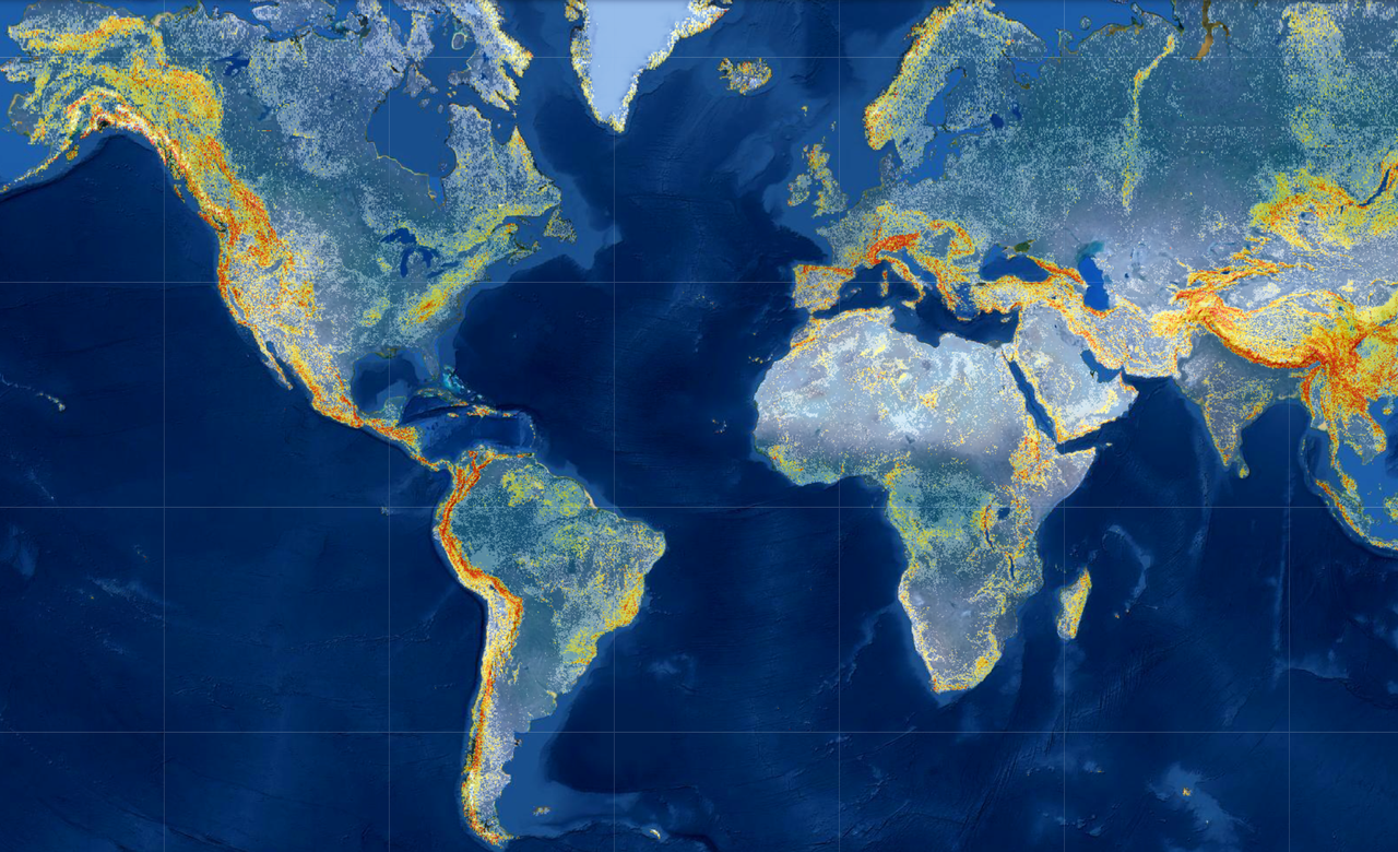
LHASA Version 2, released last month along with corresponding research, is a machine-learning-based model that analyzes a collection of individual variables and satellite-derived datasets to produce customizable “nowcasts.” These timely and targeted nowcasts are estimates of potential landslide activity in near-real time for each 1-square-kilometer area between the poles. The model factors in the slope of the land (higher slopes are more prone to landslides), distance to geologic faults, the makeup of rock, past and present rainfall, and satellite-derived soil moisture and snow mass data.
“The model processes all of this data and outputs a probabilistic estimate of landslide hazard in the form of an interactive map,” said Thomas Stanley, Universities Space Research Association scientist at NASA’s Goddard Space Flight Center in Greenbelt, Maryland, who led the research. “This is valuable because it provides a relative scale of landslide hazard, rather than just saying there is or is not landslide risk. Users can define their area of interest and adjust the categories and probability threshold to suit their needs.”
In order to “teach” the model, researchers input a table with all of the relevant landslide variables and many locations that have recorded landslides in the past. The machine learning algorithm takes the table and tests out different possible scenarios and outcomes, and when it finds the one that fits the data most accurately, it outputs a decision tree. It then identifies the errors in the decision tree and calculates another tree that fixes those errors. This process continues until the model has “learned” and improved 300 times.
“The result is that this version of the model is roughly twice as accurate as the first version of the model, making it the most accurate global nowcasting tool available,” said Stanley. “While the accuracy is highest – often 100% – for major landslide events triggered by tropical cyclones, it improved significantly across all inventories.”